This is the longest way to travel cowles and pyles peak at one attempt.
Distance: 8 miles
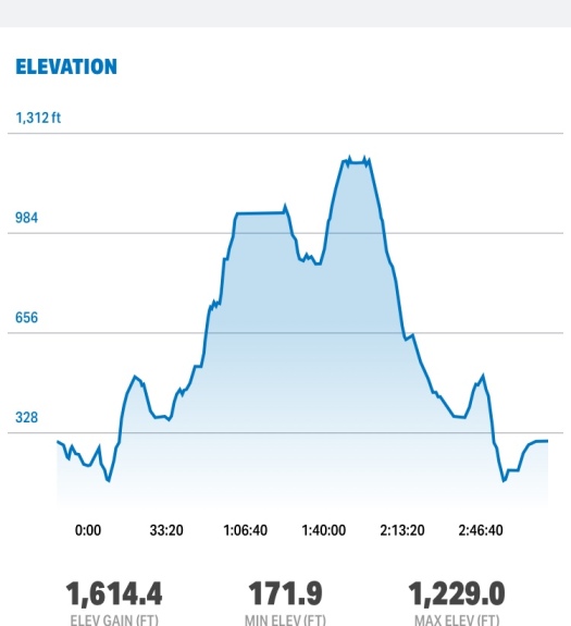
Duration: 3:19:00
Pace: 24.01 min/mile
Elevation Gain: 1913 ft
Trailhead: Mesa blvd at Prospect Ave
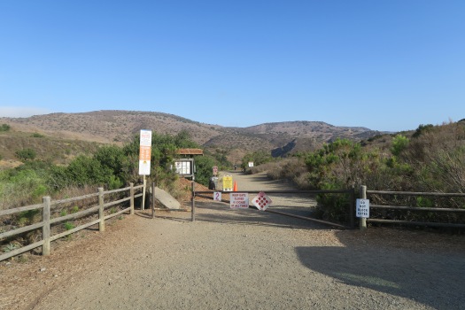
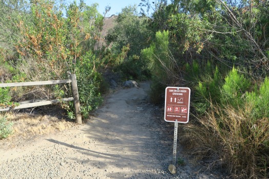
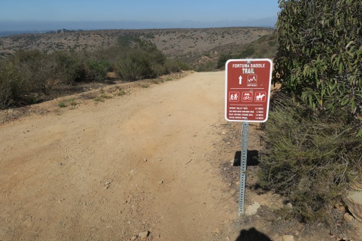
To get the trailhead, you can either park at the end of Arlette St, or on the side of Mesa Blvd which is close to the actual trailhead. The trailhead sign is obviously shown on your right, and from here to Cowles mountain is 2.46 miles. Then you will pass tennis court on your right and stoney bridge ( maybe not the bridge, see the picture below ). About a half mile, you’ve got another trail sign that shows 2 miles to go.


It is mostly single and switchback style trail, and go straight on the junction that meet with Mesa Trail. On its way, there is long wood that was installed on the side of trail. It is a good stopping point you get take a short rest.
At 1.5 miles, you met with wide service road, and turn right to head Cowles Mountain. From here, you will meet a lot of people who came from Barker Way Trailhead. You can’t get lost from here, and always follow the road that is wide and many people around you.


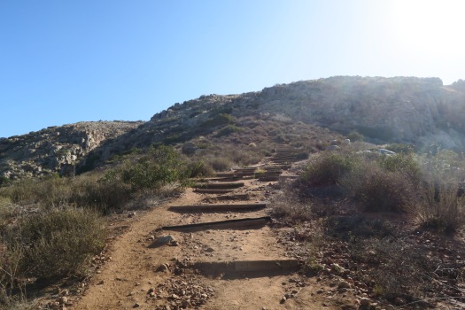
At 2.5 miles, we reached Cowles mountain and enjoy the view. And then head to the other side, and there is the start of Pyles peak trail. There is up and downs to the Pyles peak, and it is well maintained and easy to follow.
At 4 miles, we reached the Pyles peak and return the same way we came.