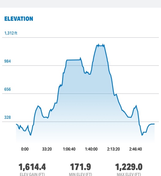
Distance: 7 miles
Duration: 3:28:00
Pace: 27.41 min/mile
Elevation Gain: 1531 ft
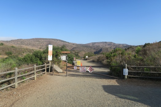
Trailhead: Jackson Dr and Mission Gorge Rd Staging area
Initially, I plan to hike South Fortuna Mountain, and I ended up with both South and North Fortuna Mountains because of their proximity. The trailhead is at Jackson Dr and Mission Gorge Rd, and there is staging area where you can park your car. From there, take wide path toward River crossings.
About 0.3 miles from start, there is a junction and take a left here. Right turn here will lead to Visitor Center, which I went initially but I realize it is wrong way and I come back this junction again. 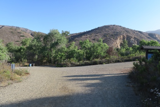
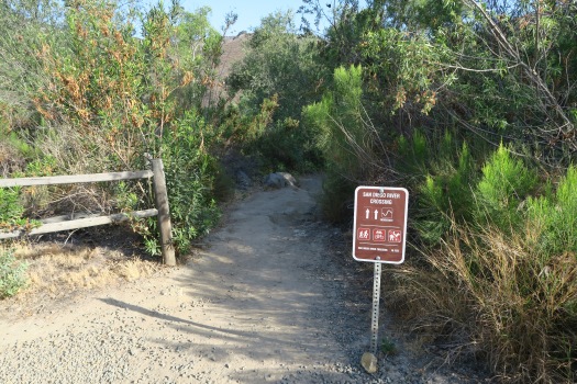
On San Diego River Crossing trail, you will encounter river crossing and you will get wet if the water stream is high. There is around way on your left with sign, and take that route without soaking your shoe.
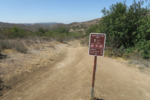
Then follow San Diego River Crossing Trail until you met the junction with Suycott Valley Trail. Turn right on that junction and follow Suycott Valley Trail about 0.3 miles.


On next junction, turn right and turn right onto South Fortuna Trail. From here South Fortuna summit is about 1.2 miles, and trail sign said it is difficult with decent amount of elevation gain.


There is wooden bridge on the way, and another trail sign where I took right turn.


Here is a picture seen from below toward South Fortuna Mountain, and the right picture is a rock on the way.


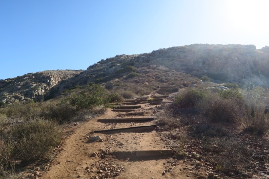
This is popular stair way called “Stairway to Heaven”, which is about 560 feet vertical gain.
There are a couple of signs on the way, and finally I went to the summit.


From the saddle, there is four way junction. Straight ahead to North Fortuna Summit. Turn left is where we will get down when we came back here again after North Fortuna Summit.


Here is North Fortuna Summit, which is little higher than South Fortuna.

Go back to the 4 way junction, and turn right toward Fortuna Saddle Trail. This is very steep downhill, and you better use hiking pole to get down this trail.
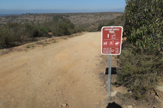
Follow this trail about 0.7 miles until you see Suycott Valley Trail sign.


Turn left toward Suycott Valley Trail.
Go straight toward the junction that met when we came.


From here, we follow the way we came toward parking lot.