Duck Pass & Duck Lake

This is little over due, and I did this hike about 20 days ago. I drove about 5 hours to north to get here. We stayed one night at hotel, and enjoyed the area. There was snow some places, and also in the trail. The first half of the section was covered by snow, and it was very slippery. Unfortunately, I did not bring a spike and stay slow to going up. There are two lakes when we go up, and it was so beautiful. The last section was has so rocky, and there are small stones and rocks on the trail and sides. When we reach our destination, there was big lake ( duck lake) and small lake ( pika lake) behind.

There are so many variations in this trail and area, and I probably come back later.


Bishop Creek Canyon

Driving hours: 260 miles, 4 hours 15 minutes.

I start with I-5, and highway 14, then take highway 395. On way up, we stopped at Red Rock Canyon State Park on highway 14. It is not well-known place, but it is on our way, and decided to stop there. It was much better place than our expectation. It is small, but there are trails and pretty rock formation. The entrance is just on highway 14, and watch for the signs to get here. After we eat breakfast and take a little rest, we go on to our destination. If you search for Highway 395, it has many view points to enjoy. Once we arrive at Bishop, took 168 to go further higher elevation. The road condition was pretty good, and there are lots of elevation gains. About a mile or two to the Lake Sabrina is little dirt road, but it was OK to manage. You should be aware of the vehicle that comes to you, because the road is too narrow and still two way road. It was beautiful lake at this high elevation.

Lake Sabrina Boat Landing


Lake Sabrina


Seoraksan National Park

Duration: 2 days with one night at the Socheong Shelter.

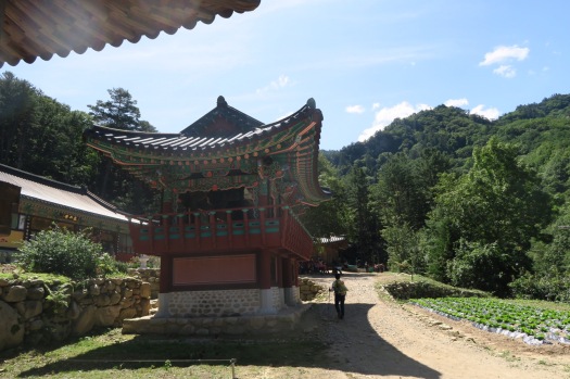
Path: Baekdamsa to Bongjeongam Temple – Socheongbong – Daecheongbong – Huiungak Shelter – Gongyongneungseon ( Ridge) – Madeungnyeong – Osaeam Temple – Yeongsiam – Baekdamsa.

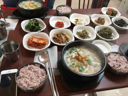
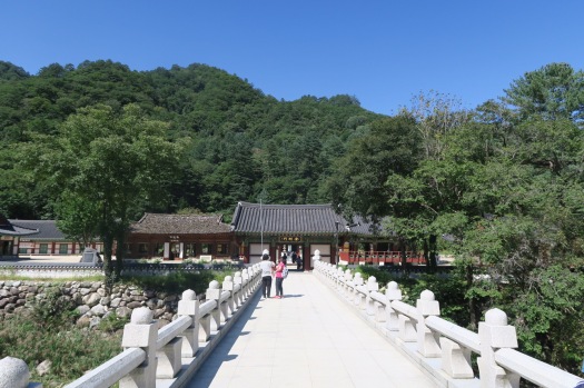
We leave home in the morning, and take a highway to Baekdamsa Parking lot. Before we stop there, we eat whangtae haesangguk for breakfast. We left our at the parking lot, and take bus to get Baekdamsa.

We started 500m from sea level, and the highest peak was 1708 m.

From Baekdamsa to Yeongsiam ( 3.5 km), and take a path to Suryeomdong Shelter ( 1.2 km), and to Bongjeongam (5.9 km), then to Socheong Shelter (1.1 km).

On day two, we woke up at 4:00 am to see sun rise. From Socheong to Jungcheong ( 0.6 km), and another 0.6 km to Daecheongbong peak. We came down the same way to Socheong (1.2 km), then take a path to Huiungak Shelter. We stopped here and eat breakfast. On the Muneomigogae (1.5 km), we take a path to Gongyongneungseon. This is 4.9 km long, but it was very challenging because it has several up and down with high elevation changes and rock scrambling.

From Madeungnyeong to Oseam (1.4 km), and another 2.5 km to Yeongsiam, then finally back to Baekdamsa for 3.5 km.

Total, we hiked 27.9km, 11.7 km first day and 16.2 km second day.


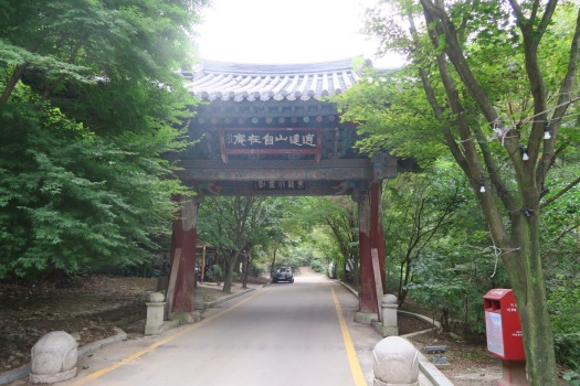
Soyosan Mountain

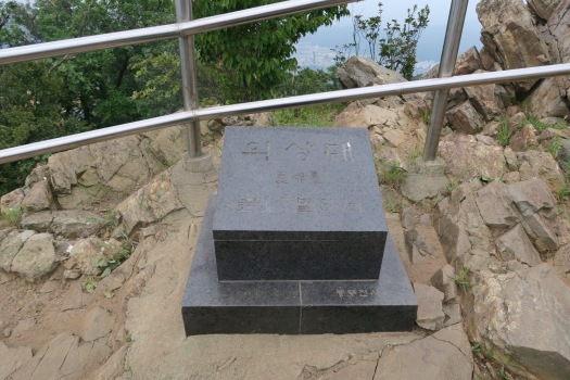
Soyosan is small mountain located in Dongducheon City, Korea. It is only 536 meter from sea level. It has six prominent peaks, and the highest among them is Uisangdae.

I took a larger loop which travels all six peaks, and it took me about 3 and half hours.

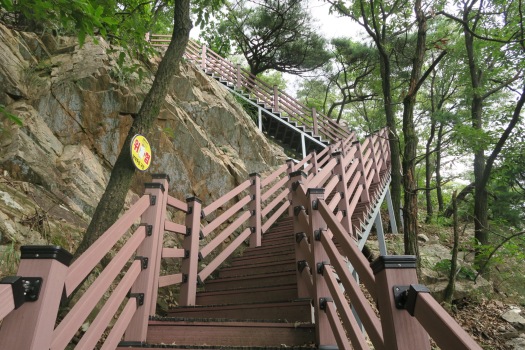
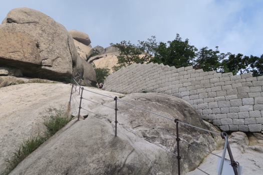
Like most of mountains in Korea, there are sections of stairs and rock scrambling. It would take more time considering the length of the path.

Bukhansan National Park

The mountain is located at the Northern border of Seoul, Korea.

The distance I walked is not far, but it takes more time because the trail is almost climbing on the rock. So, don’t underestimate travel time by just looking at the length of the trail.

I started the hike from Bangkak subway station, then took a bus # 130, and rode a taxi to the trailhead.

The trail is almost walking on the rock from beginning to the end. Some part, there is a guided rope, and some does not have. You should be better to wear shoes with good traction and sticky on the rock.

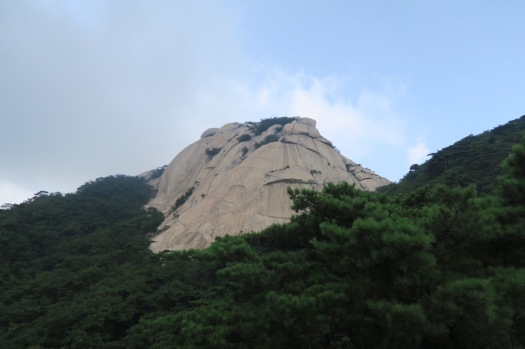
The rock formation in this range is incredibly beautiful, and ther are so many places to take pictures. My only complaint is taking too much time to see the scenery.

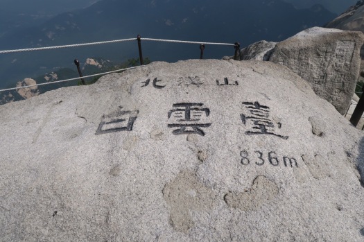
Baegundae is the highest peak in the Bukhansan with 836 meter (2742 feet). Compare to the mountains in the southern california, it is small mountain range. It is rather compact version that collects all pretty rocks together.

San Bernandio Peak

Distance: 16.8 miles

Elevation gain: about 4800 feet

Hours: 9 hours ( including long break at the peak)

Trailhead: San Bernardino Peak Trail

Difficulty : Difficult

Top of Reseda to Eagle Rock

Elevation gain:  About 2000 feet

Hours: 3 and half hours

Trailhead: Marvin Braude Mulholland Gateway Park

Difficulty : Easy

The hike start at Marvin Braude Mulholland Gateway Park, where Reseda road end. The trail go downward half way to the Eagle Rock, and then slight upward. I did a little bit of loop.


Mt Lowe, Inspiration Point

Distance:  14 miles, out and back

Elevation gain:  About 4800 feet

Hours: 7 hours ( including about 40-50 minute rest)

Trailhead: Echo Mountain Trailhead, Lake Ave & E Loma Alta Dr

Difficulty : Advanced

The first part of hike is to take Castle Canyon Trail up to Echo Mountain, then go up to Inspiration point, and finally Mt. Lowe. From trailhead to Echo mountain is pretty easy to follow. Just go until you meet some ruins of old buildings. Then, some go toward Inspiration point and some time to enjoy the view there. Go further to Mt. Lowe, and there are major junctions in a couple of minutes. On the far left, it goes Sam Merrill Trail, and on the left it goes to Mt Lowe CG and Sunset Ridge, and on the right it goes to Mt Lowe. Take right here continue to Mt Lowe. On way down, we met  this junction again, then take Sam Merrill Trail, it goes to Echo Mountain. From there take Castle Canyon Trail down to trailhead.

Santa Cruz Island

This is 5 miles hike out and back, from Prisoners harbor to Pelican Bay. This is in the private part of the island (Nature Conservancy).